


Slamtec
Slamtec RPLIDAR M2M3 (40M) LIDAR Sensor - Angular Range 360° Measuring Range Scanner Commercial Outdoor robot
Slamtec RPLIDAR M2M3 (40M) LIDAR Sensor - Angular Range 360° Measuring Range Scanner Commercial Outdoor robot
Couldn't load pickup availability
INTRODUCTION
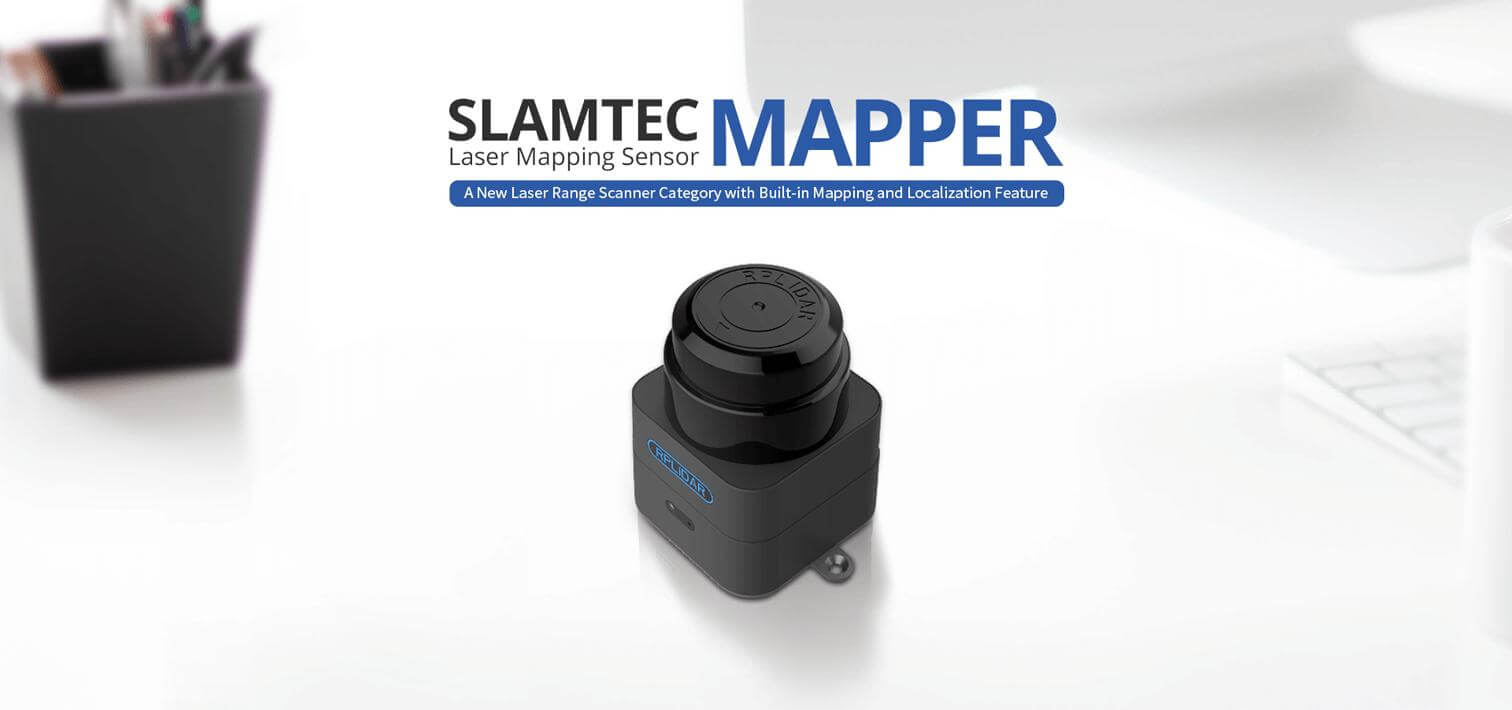
Slamtec Mapper, a new laser range scanner category integrating map building and real-time localization and navigation, contains the SLAMTEC third-generation high-performance SLAM engine and laser range scanner. Plug and play, without any external dependence. It is suitable to be applied in application fields like robot localization and navigation, environment surveying and mapping and etc.
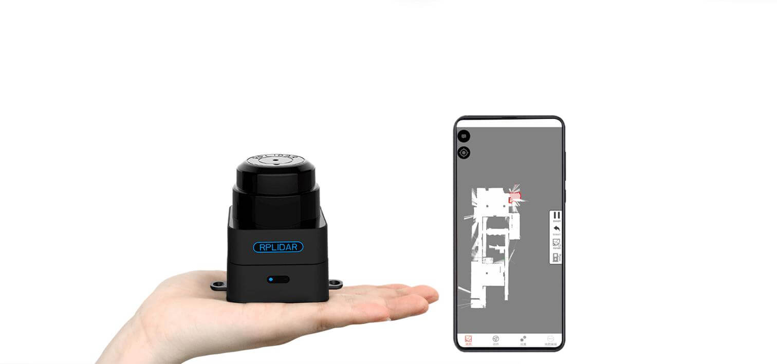
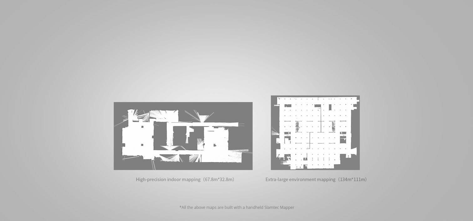
Large Scenarios and High-quality Mapping
Slamtec Mapper adopts SLAMTEC third-generation high-performance SLAM graph optimization engine and SharpEdge™ mapping technology to realize a high accurate thousand-square-meter map building and real-time localization, and it can actively detect the closed-loop and correct map. The mapper is an ideal choice for users to realize mapping and re-localization in various complicated scenarios and output map and localization data that meets users' expectations.
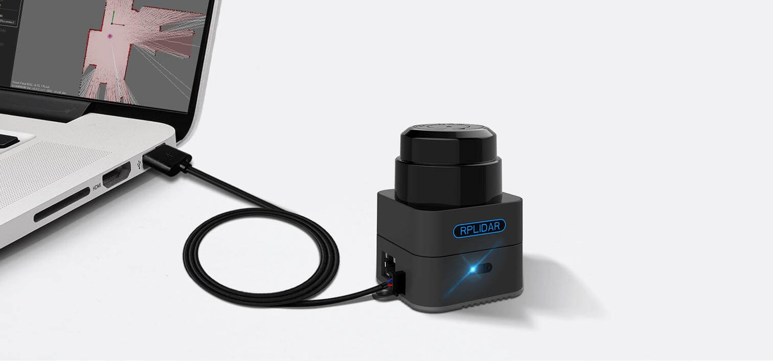
Plug and play, without any external dependence
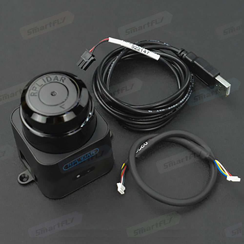
Slamtec Mapper just needs a USB power cable to work well, without any additional support or accessories.
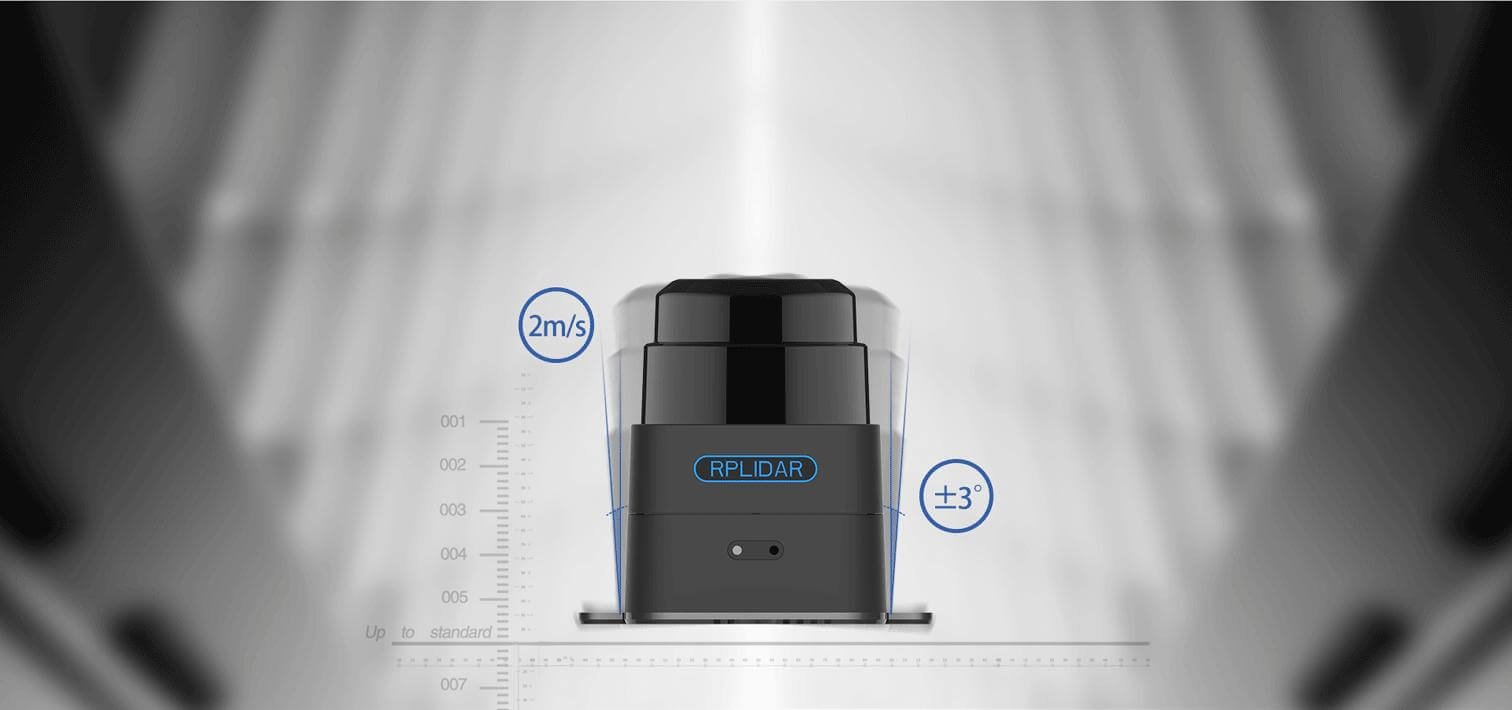
Tilting Compensation and Fast Moving
With built-in inertial navigation system with nine degrees of freedom, Slamtec Mapper can work properly in tilting and shaky hand-held mode and ensure excellent map data quality. In addition, it supports moving fast with a maximum speed of 2m/s.
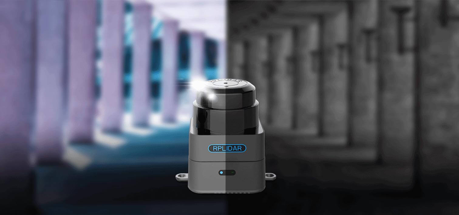
Indoor and Outdoor Availability
Whether in complicated indoor environment or outdoor environment with direct daylight, Slamtec Mapper shows a good performance in mapping and localization in those complicated scenarios.
?Fully Compatible with ROS, Easy Data Analysis
Slamtec Mapper provides completed cross-platform SDK and tools both on the phone and PC side for users to evaluate, develop and use. Through matched ROS driver, you can integrate the generated map and localization data into the ROS environment seamlessly. ?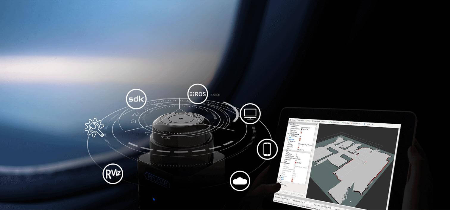
More Than A Mapper
Slamtec Mapper is not only a mapper for mapping and localization, you can also use it directly as a laser range scanner. Via SDK or ROS node, you can easily put the data of the laser range scanner into the user's current system.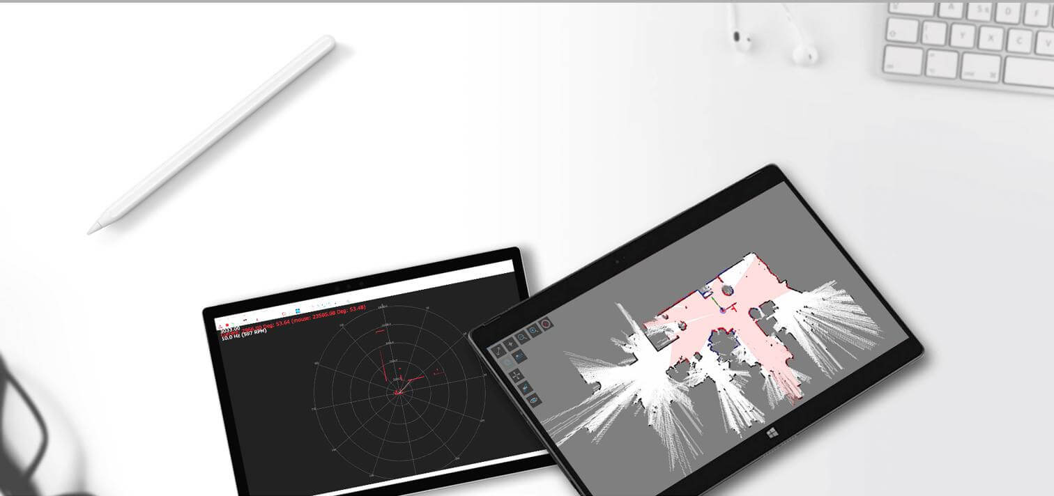
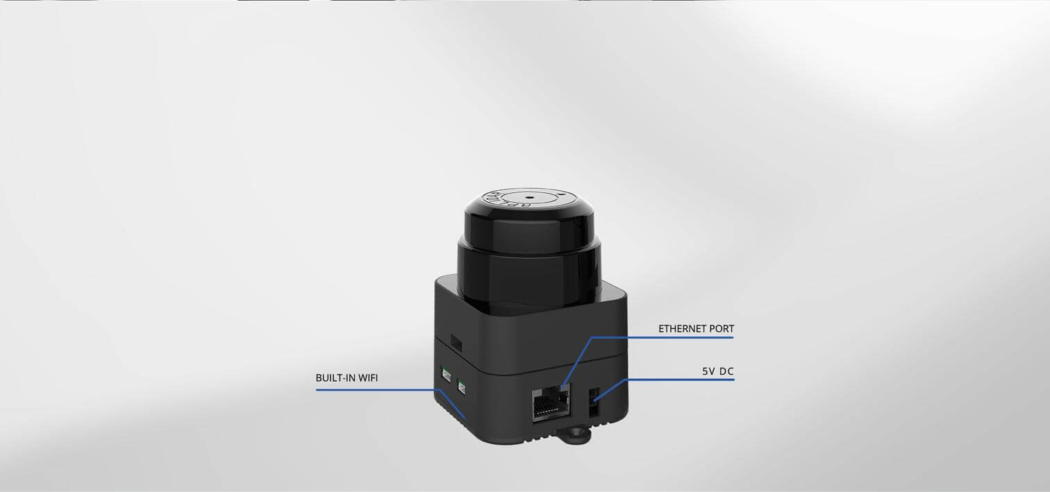
Built-in WIFI, Ethernet port, Easy communication
With built-in access point and station mode WiFi as well as 100M Ethernet port, you can get the real-time map and localization data generated by Slamtec Mapper through the designed mobile application.
APPLICATIONS
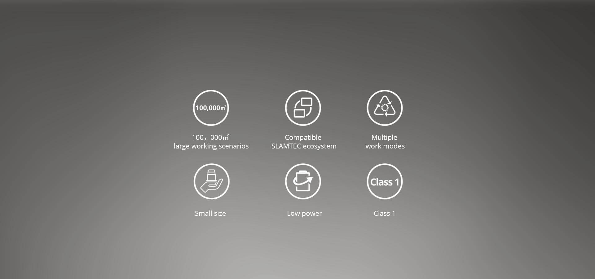
Commercial robot
Outdoor robot
Environment surveying
Handheld mapping
Key parameters
| Model | M2M2 |
| Recommended applications |
Commercial robot, Outdoor robot, Environment surveying, Handheld mapping |
| Measuring Range | 0.1m - 40m |
| Sampling Frequency | 9.2K |
| Rotational Speed | 8Hz-15Hz |
| Angular Resolution | 0.391° |
| Motor | Brushless |
| Dimensions | 77.1 x 57 x 74.9mm |
| Weight | 165g |
| System Voltage | 5V |
| System Current | 750mA - 1300mA |
| Power Consumption | 3.75W-6.5W |
| Output | Ethernet (802.3/802.3u ) WiFi(802.11a/b/g/n/ac ) |
| Temperature Range | -5℃-45℃ |
| Angular Range | 360° |
| Range Resolution | 3cm |
| Accuracy | ≤5cm |
| Maximum Moving Speed | 2m/s |
| Frequency Of Data Refresh | 10Hz |
| Maximum Area | 300m x 300m |
| Mapping resolution | 0.05m |
| Accuracy | < 0.02m |
| Graph Optimizing Working Time | About 1 hr |
| Maximum Inclination Angle | ±3° |
✅ Traceable Supply Chain — Ai-Paipai (Shenzhen AiPaipai Intelligent Technology Co., Ltd.)
This product is supplied through a traceable supply chain. We provide local technical support, pre-installed SDK / mirror images, and OEM / ODM customization, plus fast global shipping.
Why Buy From Ai-Paipai?
- Genuine & Traceable — sourced through a verifiable supply chain.
- Local Engineering Support — datasheets, SDKs, and pre-flashed images in English and Chinese.
- OEM / ODM & FPGA Customization — tailor specs, enclosures, and BSP for your project.
- One-Stop Sourcing — Firefly + youyeetoo + our own FPGA / edge lineup in one store.


Frequently asked questions
What is Slamtec RPLIDAR M2M3 (40M) LIDAR Sensor - Angular Range 360° Measuring Range Scanner Commercial Outdoor robot used for?
Slamtec RPLIDAR M2M3 (40M) LIDAR Sensor - Angular Range 360° Measuring Range Scanner Commercial Outdoor robot is a Embedded Computing from Slamtec. It is typically used in embedded computing, edge AI inference, industrial control and rapid prototyping, and can be integrated into custom carrier boards or finished devices.
Does Slamtec RPLIDAR M2M3 (40M) LIDAR Sensor - Angular Range 360° Measuring Range Scanner Commercial Outdoor robot include technical support, datasheets or pre-flashed images?
Yes. Ai-Paipai supplies this item through a traceable supply chain and provides local engineering support, datasheets, SDKs and pre-flashed system images where applicable, plus OEM / ODM customization for volume projects.
Can I order Slamtec RPLIDAR M2M3 (40M) LIDAR Sensor - Angular Range 360° Measuring Range Scanner Commercial Outdoor robot with OEM / ODM options or CE / FCC / RoHS certification?
OEM / ODM customization (specs, enclosure, BSP) is available, and CE / FCC / RoHS certified options can be provided on request for EU and US imports. Contact us for a quote.
How is Slamtec RPLIDAR M2M3 (40M) LIDAR Sensor - Angular Range 360° Measuring Range Scanner Commercial Outdoor robot shipped, and what is the lead time?
Orders ship worldwide from Shenzhen. Stock items typically dispatch within a few business days; configurable or made-to-order variants take longer. Exact lead time is shown at checkout or on request.
Specifications
| Model | M2M2 |
| Recommended applications | Commercial robot, Outdoor robot, Environment surveying, Handheld mapping |
| Measuring Range | 0.1m - 40m |
| Sampling Frequency | 9.2K |
| Rotational Speed | 8Hz-15Hz |
| Angular Resolution | 0.391° |
| Motor | Brushless |
| Dimensions | 77.1 x 57 x 74.9mm |
| Weight | 165g |
| System Voltage | 5V |
| System Current | 750mA - 1300mA |
| Power Consumption | 3.75W-6.5W |
| Output | Ethernet (802.3/802.3u) WiFi(802.11a/b/g/n/ac) |
| Temperature Range | -5℃-45℃ |
| Angular Range | 360° |
| Range Resolution | 3cm |
| Accuracy | ≤5cm |
| Maximum Moving Speed | 2m/s |
| Frequency Of Data Refresh | 10Hz |
| Maximum Area | 300m x 300m |
| Mapping resolution | 0.05m |
| Accuracy | < 0.02m |
| Graph Optimizing Working Time | About 1 hr |
| Maximum Inclination Angle | ±3° |